


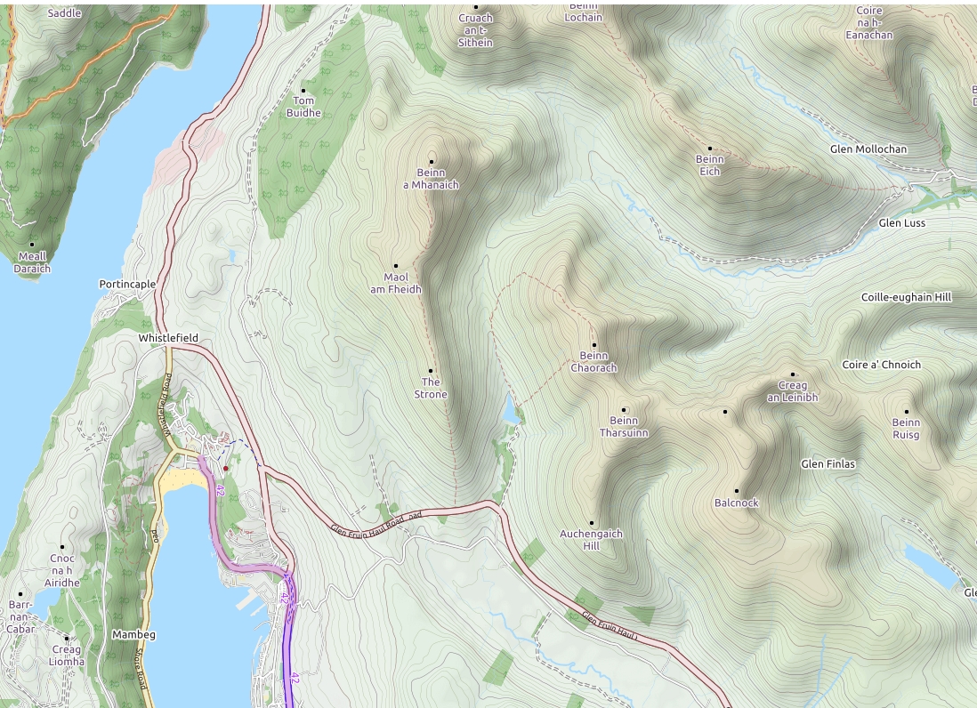
Glen Fruin
|
Site Owner / Negotiator |
LLSC |
|
Site Contact |
Mark Leyland |
|
Site History: |
Once a Peel Park Site now managed by LLSC |
|
Altitiude at Launch: |
546m |
|
Height top to bottom: |
??? |
|
Airspace: |
Note that the Strone and hills to the north lie within a danger area D601- see up to date airspace data for details. |
|
National Grid Reference: |
NS 285885 |
|
Wind Direction: |
WNW-WSW |
|
Brief Site Description: |
Auchengaich hill lies next to the A817 old military road |
|
Special Rules: |
None. |
|
How to get there: |
From the old road out of the east of Helensburgh or from the A82 turning left at the Arden roundabout onto the A818 then at the next junction straight ahead onto minor road for Helensburgh. |
|
Restricted Areas: |
None. |
|
Parking Notes: |
Parking on the old military road is not recommended and has attracted attention from the MP's in the past. If you can plan to approach on the old Helensburgh road and park on the grass verge just west of Ballevoulin farm then it is just a short walk across one field to the bottom of the hill. |
|
Landowners: |
Tenant farmer at Ballevoulin Farm should be consulted if in any doubt about bottom landing availability |
|
RAF Ref. |
N/A |
|
Launch Notes: |
Hanggliders: not known to fly there |
|
Paragliders: paragliders : Walk up onto the spur and then up past the trees to find a suitable take off |
|
|
XC Tips: |
Great potential but still to be tested fully. Flights across loch Lomond onto Ben Lomond have been made |
|
Top Landing Notes: |
Spineback, beware of getting to far back |
|
Bottom Landing Notes: |
Hang-gliders: obvious fields without animals or crops |
|
Paragliders: as per HG. |
|
|
Hazards: |
Powerlines and the military. Be aware of the boundaries of the danger area in front of take off. |