


Thornhill Site details not checked recently.
|
Site Owner / Negotiator |
LLSC |
|
Site Contact |
|
|
Site History: |
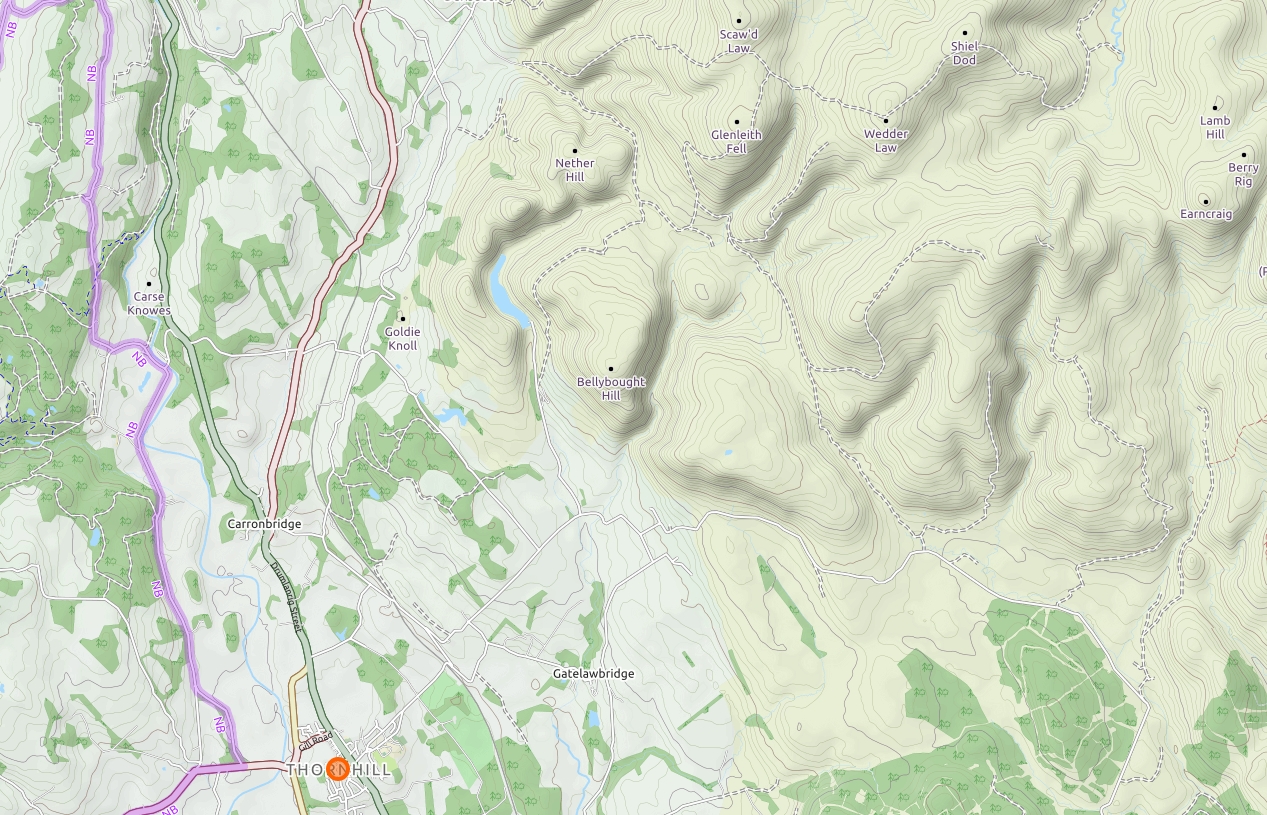
Thornhill (Sth. Lanarkshire area.) is only flown occasionally. Not to be confused with the H.G. tow operation at Thornhill (Stirling). |
|
Altitiude at Launch: |
1280ft/390m |
|
Height top to bottom: |
390ft/120m |
|
Airspace: |
TMA D over 5500ft |
|
National Grid Reference: |
NX 920985 |
|
Wind Direction: |
South to South-West |
|
Brief Site Description: |
A long steep ridge giving good lift. |
|
Special Rules: |
You must attempt to contact the farmer before flying here, but flying is ok if contact impossible. No flying in April/May during lambing. |
|
How to get there: |
From junction 14 (M74), take the A702 to Carronbridge, and join the A76 to Thornhill. At Thornhill roundabout, turn left and follow rd over railway. Take immediate left and, after 0.3 miles, take right turn (heading N. E.), after 2 miles turn left and go 0.5 miles N.W. to hill |
|
Restricted Areas: |
Avoid stocked fields, see Special rules regards lambing. |
|
Parking Notes: |
Park (off road) anywhere along the unfenced road. |
|
Landowners: |
Mrs Weir, Townfoot Farm, Thornhill - 01848 330268 |
| CANP | Link to CANP system to notify other aircraft of activity in this area. |
|
Launch Notes: |
Hang-gliders: Easy carry - up from road. Anywhere on top of ridge can be used to launch. |
|
Paragliders: As per HG |
|
|
XC Tips: |
Airspace - class D over 5500ft, Good xc potential for both PG and HG. Tinto is about 36km due North. No XC record. |
|
Top Landing Notes: |
Thornhill is excellent for top landing, with ample flat areas. |
|
Bottom Landing Notes: |
Hang-gliders: can land in any unstocked field.. |
|
Paragliders: can land in any non - crop fields, but avoid livestock. |
|
|
Hazards: |
Power lines at East end of site and dykes near landing fields. RAF often fly this area midweek. |