


Tinto - South
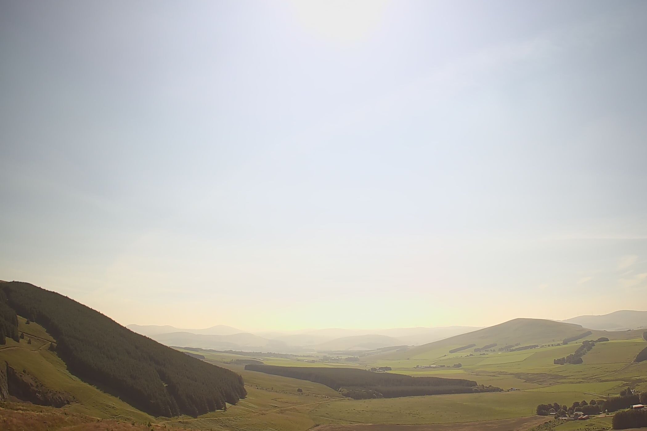
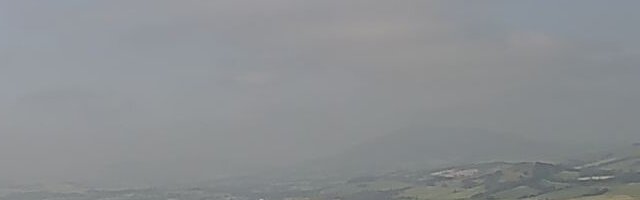
Tinto live video camera. Updates every 5 minutes. View SE from Howgate Hill. There's also a distant view of Tinto from Broughton with our webcam on that hill (see its site guide here)
Provider formatting
Local formatting (at Tinto)
Local formatting (from Broughton)
|
Details last updated: |
2026-06-01 |
|
Site Owner / Negotiator |
LLSC |
|
Site Contact |
Alexander McGrath |
|
Site History: |
Tinto is the main hill for free flying, paragliders and hang gliders in the Central belt of Scotland. |
|
Altitiude at Launch: |
1730ft/527m |
|
Height top to bottom: |
951ft/290m |
|
Airspace: |
TMA CLASS 'D' above 5500ft Check you have latest airspace data on your navigation device or access to the latest CAA chart for the area. |
|
National Grid Reference: |
NS 929343 |
|
Wind Direction: |
South-East to South-West. The club weather station is situated on club land on Howgate Hill just to the west of the normal launch area near the crest of the ridge. See live data elsewhere on this site. |
|
Brief Site Description: |
Large open hill with 4km ridge running east to west. |
|
Special Rules: |
Follow the Scottish Outdoor access code at all times. There are sometimes grazing animals further up the hill which may not be visible. See restricted area below. |
|
How to get there: |
From the M74 Junction 11 or 12 (Happendon Services) take the A70 heading east then first right onto the B7055 after passing through Rigside. Follow road for approx. 5km to junction with the white house on the right and track on the left.
|
|
Restricted Areas: |
If flying Greenhill (Tinto South) the following precautions must be taken. Try to avoid launching, flying or landing on the lower portion of Green Hill below 400 metres 1300 feet. This is roughly below the top of the obvious band of bracken. If you get low please land at the normal Sornfallow landing field to the west of the access track. Stay away from any groups of sheep on the hillside and particularly any animal feeders on the lower level, which will be obvious from above. Don't scrape low over or disturb any groups of sheep. If you see anything untoward please let the sites officer know and as usual if approached by anyone be polite and check who they are. |
|
Parking Notes: |
There is a small car park on the right about 500m up the track. Alternatively park in the quarry at the top of the track. Camper vans must use the small car park. |
|
Landowners: |
Farmers - Mr Linton, Sornfallow Farm and Mr Ross, Greenhill Farm |
| CANP | Link to CANP system to notify other aircraft of activity in this area. |
|
Launch Notes: |
Hang-gliders: Follow the vehicle track up the hill, cross the fence at the stile and continue to the rigging area. If the wind is stronger, you can take off from the first 'bump' adjacent to the quarry. |
|
Paragliders: Preferably walk up the track which starts just below the quarry. Go through the gate and then take the track to a small parking area near the crest of the ridge. Cross the stile and follow the edge of the trees to the east. Once on the open hillside there is a large area to choose a suitable launch point depending on conditions. This track is suitable for 4 wheel drive vehicles only at owners risk. Alternatively climb the hill immediately to the east of the trees above the lower parking area. Please don't walk up the centre of the hill to keep disturbance of grazing sheep to a minimum. Launch anywhere that suits above 400 metres 1300 feet. |
|
|
XC Tips: |
Can be limited by airspace to the north but plenty of options flying south. Make sure you have latest airspace data available on your navigation device or up to date CAA chart. A common route is to fly along the ridge from take off to the main hill 'the Dimple', where good lift can be found on the scree slopes. The gradient reduces between launch and the main hill so allow sufficient height to get across. |
|
Top Landing Notes: |
Greenhill is good for top landing. Paragliders: don't fly behind the wall when coming in to top land. |
|
Bottom Landing Notes: |
Hang-gliders: Normally land in the usual large flat field across the road from Sornfallow Farm. Hang Glider landing field link |
|
Paragliders: Land in the large field between Sornfallow Farm and the track. Link here. Take care as the field slopes away from the normal landing direction. There are usually sheep in this field this does not cause a problem other than droppings. |
|
|
Hazards: |
Obvious hazards are the coniferous trees east of the quarry and a few fences. Paragliders: there is a narrow gap, 'Howgate Mouth' between the quarry and Howgate Hill to the west where there is the possibility of getting 'hoovered' through in stronger winds (keep well out from the hill if this is likely). If ground handling at the top of Greenhill, be aware of the wall. Also beware of being hoovered into Martingill Cleuch between Green Hill and Tinto if heading to Tinto summit. |