


Dungavel - There is no agreement with the landowner to fly this site see below for precautions.
DURING SPRING AND EARLY SUMMER PLEASE LAND NEAR THE OBVIOUS TRACK TO AVOID DISTURBING GROUND NESTING BIRDS.
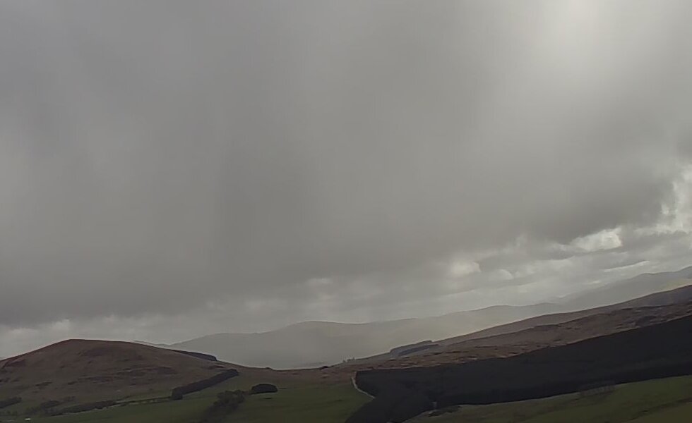
This is the view of Dungavel seen from the Tinto South webcam (zoomed in, hence the graininess)
|
Details last updated: |
2020-05-17 |
|
Site Owner / Negotiator |
|
|
Site Contact |
<Person + contact details> |
|
Special Rules: |
No formal agreement with the current landowner exists. If you wish to fly this site you are expected to fly within the spirit of the Scottish Outdoor Access Code and do so responsibly. No flying should take place if there is livestock present on the open hill. |
|
Site History: |
A relatively small hill but has been the home of XC distance records and has become popular. |
|
Altitiude at Launch: |
1580 Feet |
|
Height top to bottom: |
580 Feet |
|
Airspace: |
Scottish TMA 5500 feet above. check you have up to date airspace data on your navigation device or latest charts. |
|
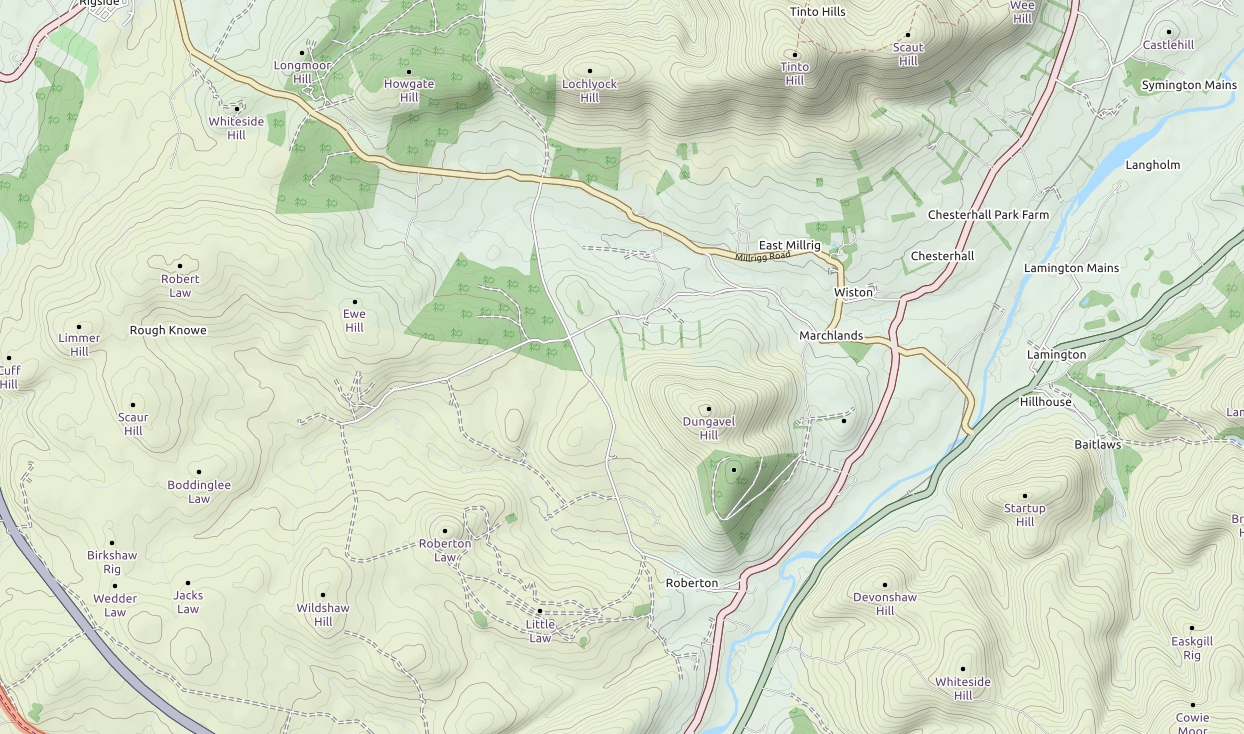
National Grid Reference: |
NS 931 305 |
|
Wind Direction: |
W or WSW |
|
Brief Site Description: |
Relatively small hill with a rounded grassy top. Often very thermic. Good starting point for XC.A good option if you are already at Tinto and the wind backs. |
|
How to get there: |
3km south of Tinto. From the white cottage follow minor road south towards Roberton. |
|
Restricted Areas: |
None |
|
Parking Notes: |
Park to the south of the large obvious cattle grid. Take care not to block any access points or the gate next to the cattle grid which is used by horses and other animals. |
|
Landowners: |
|
|
CANP |
Link to CANP system to notify other aircraft of activity in this area. |
|
Launch Notes: |
Head east straight up the hill through a boggy area and launch anywhere suitable. |
|
|
|
|
XC Tips: |
Good site to start XC |
|
Top Landing Notes: |
A good place to practice top and slope landings |
|
Bottom Landing Notes: |
Land back near the car park. Plenty of suitable spots. Try to land near the faint track / path at the LZ as there are nesting birds in the heather at various times in the year. |
|
|
|
|
Hazards: |
Avoid overflying fields around farm at south end of ridge. Avoid any areas with horses. |